September 05, 2022

Water Creates Landscape Variability in High-Latitude Ecosystems
A model sensitivity analysis reveals that near-surface hydrology drives fine-scale variability in soil temperatures, vegetation, and carbon fluxes.
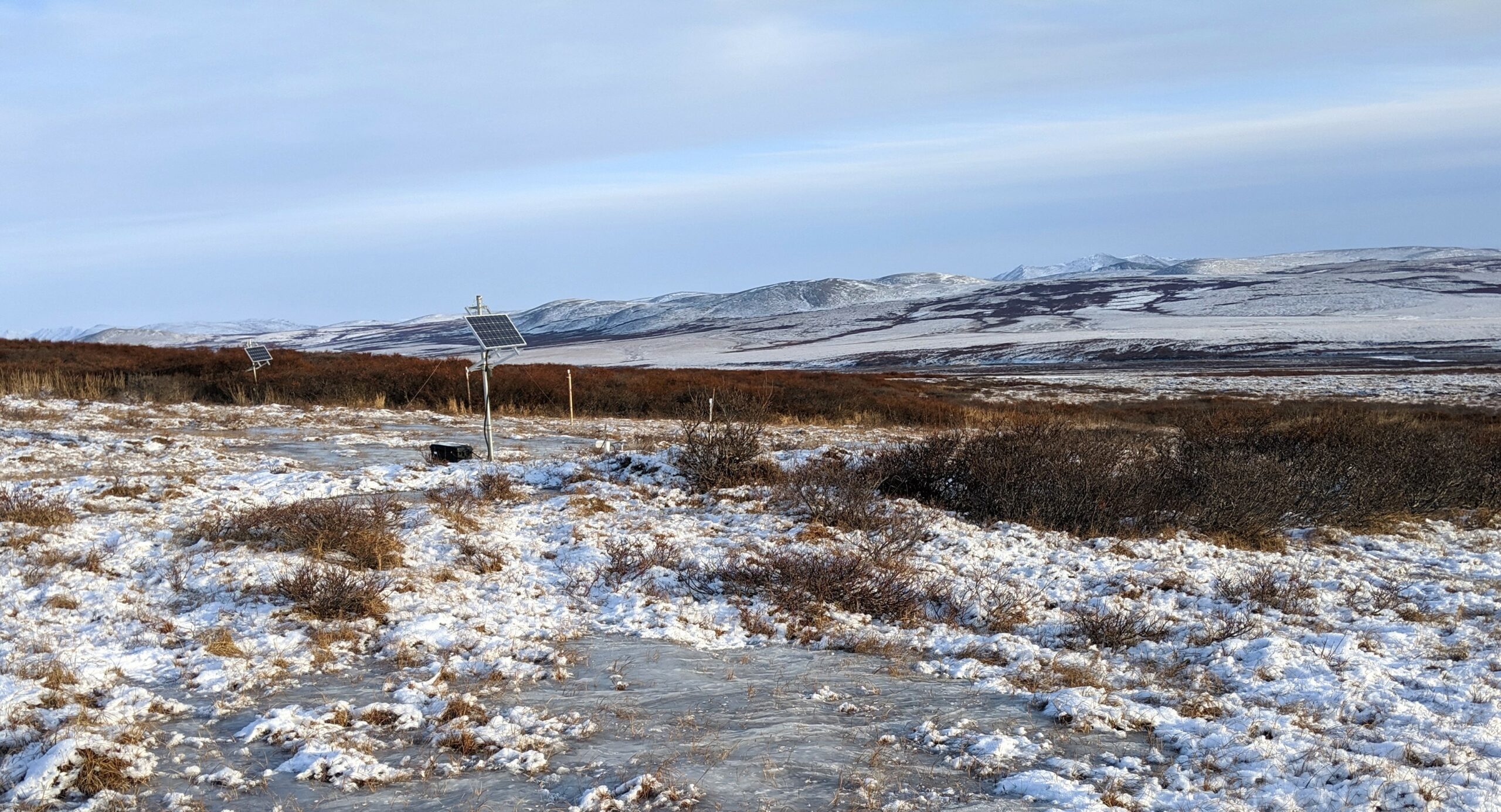
Vegetation cover, topography, snow depth, and ice accumulation vary across the watershed pictured here in the Seward Peninsula in Alaska. This watershed is the subject of intensive and multi-disciplinary investigation as part of the NGEE-Arctic project.
[Courtesy Lawrence Berkeley National Laboratory.]
The Science
At high latitudes, properties such as soil temperatures, vegetation cover, and carbon fluxes vary considerably across a landscape. For example, a patch of tall shrubs with warm soil temperatures and large carbon uptake is surrounded by low-lying tundra vegetation with cold soil temperatures and small carbon fluxes. Using a model sensitivity analysis, researchers working for the NGEE-Arctic project demonstrated that local changes in snow depth and soil water content create the landscape variability observed in these ecosystems.
The Impact
By advancing understanding of how landscape variability is created and structured, this research will help scientists monitor and predict ecosystem processes like soil temperatures, shrub growth, and carbon fluxes at larger scales. Identifying tight couplings between water, heat, and carbon cycles will help guide future efforts to understand how these ecosystems will be affected by climate change. Additionally, this work demonstrates that failure to account for small-scale variability in regional and global modeling efforts may lead to inaccurate and biased predictions.
Summary
Discontinuous permafrost environments are characterized by strong spatial heterogeneity at scales too small to be driven by weather forcing or captured by Earth system models. Using a global sensitivity analysis of ecosys, a process-rich terrestrial ecosystem model, researchers demonstrated that near-surface hydrologic processes create the observed heterogeneity in soil temperatures, vegetation composition, and carbon fluxes. In the sensitivity analysis, soil temperatures are more impacted by snow depth, O-horizon thickness, and near-surface water content, which vary at scales of 1m, than by an air temperature gradient corresponding to a 140 km north-south distance. Tall shrub growth, which is an important indicator of change in the region, is only observed in simulations with perennially unfrozen soils that are neither too wet nor too dry. While simulated net carbon balance was generally low, simulations with a near-surface water table or tall shrub growth had high net carbon uptake. The researchers showed that estimates of net carbon uptake for a watershed are 60% higher when the observed shrub distribution is considered. The results of this study can be used to advocate for higher-resolution measurements and improved model representation of landscape variability.
Principal Investigator
Baptiste Dafflon
Lawrence Berkeley National Laboratory
bdafflon@lbl.gov
Program Manager
Brian Benscoter
U.S. Department of Energy, Biological and Environmental Research (SC-33)
Environmental System Science
brian.benscoter@science.doe.gov
Daniel Stover
U.S. Department of Energy, Biological and Environmental Research (SC-33)
Environmental System Science
daniel.stover@science.doe.gov
Funding
This research was supported as part of the Next-Generation Ecosystem Experiments-Arctic (NGEE-Arctic) project to Lawrence Berkeley National Laboratory, which is funded by the Biological and Environmental Research (BER) Program within the U.S. Department of Energy’s (DOE) Office of Science.
References
Shirley, I. A., et al. "Near‐Surface Hydrology and Soil Properties Drive Heterogeneity in Permafrost Distribution, Vegetation Dynamics, and Carbon Cycling in a Sub‐Arctic Watershed." Journal of Geophysical Research: Biogeosciences 127 e2022JG006864 (2022). https://doi.org/10.1029/2022JG006864.